การพัฒนาระบบสารสนเทศแผนที่อัจฉริยะเชื่อมโยงความเชื่อเกี่ยวกับพญานาค เพื่อส่งเสริมการท่องเที่ยวเชิงวัฒนธรรมโดยใช้ข้อมูลชุมชนเป็นฐานเพื่อสร้างรายได้ให้กับคนพื้นถิ่น
บทคัดย่อ/Abstract
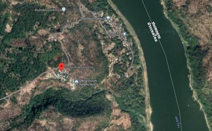
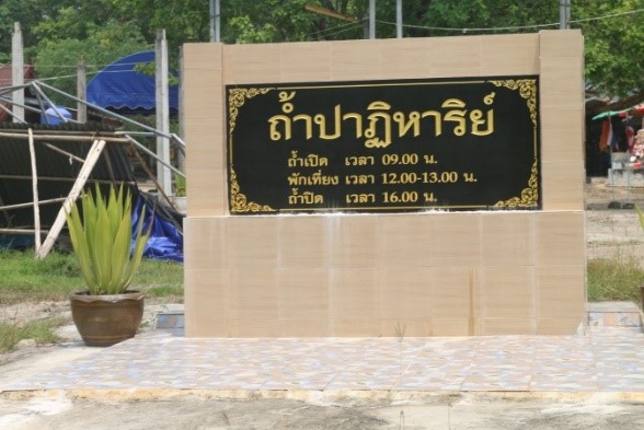
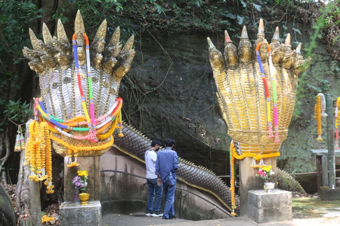
<p>การศึกษาวิจัยนี้มีวัตถุประสงค์ คือ การศึกษาพลวัตประวัติศาสตร์ วัฒนธรรม และความเชื่อพญานาค สร้างความเชื่อมโยงทางความเชื่อเกี่ยวกับพญานาคของแต่ละพื้นที่ และการพัฒนาระบบสารสนเทศแผนที่อัจฉริยะในการนำเสนอความเชื่อมโยงความเชื่อของแหล่งท่องเที่ยวที่มีความเชื่อในประวัติศาสตร์ วัฒนธรรม และความเชื่อพญานาคเชื่อมโยงความรู้เกี่ยวกับนาคและพญานาค โดยเครื่องมือที่ใช้ในการวิจัยประกอบด้วย แบบสอบถาม/สัมภาษณ์ข้อมูลตำนาน ความเชื่อเกี่ยวกับพญานาค การสร้างแผนที่เชื่อมโยงความเชื่อเกี่ยวพญานาค ระบบสารสนเทศในการนำเสนอความเชื่อมโยงความเชื่อเกี่ยวกับพญานาค โดยแบ่งการทำงานออกเป็น 2 ส่วน คือ ส่วนของระบบสารสนเทศในการบริหารจัดการข้อมูลวัตประวัติศาสตร์ วัฒนธรรม และความเชื่อพญานาค ที่มีความเชื่อมโยงทางความเชื่อเกี่ยวกับพญานาคของแต่ละพื้นที่ และพิกัดเพื่อสร้างความเชื่อมโยงด้วยระบบสารสนเทศภูมิศาสตร์ จำนวน 11 แห่ง ภายในจังหวัดอุบลราชธานี จังหวัดมุกดาหาร และจังหวัดนครพนม และแบบประเมินความพึงพอใจของกลุ่มตัวอย่างต่อการใช้งานระบบ ประกอบด้วย ผู้ใช้งานทั่วไป เจ้าหน้าที่หน่วยงานภาครัฐ/เอกชน และผู้ดูแลระบบและผู้เชี่ยวชาญ จำนวน 400 คน</p><p>ผลการวิจัยพบว่า พลวัตพญานาคสะท้อนให้เห็นบริบท ภูมิศาสตร์ และกายภาพ ของพญานาคที่มีความแตกต่าง คือ อยู่ในน้ำ ริมแม่น้ำ/แหล่งน้ำ ในป่า/เขตอุทยานแห่งชาติ และภูเขา อีกทั้งเรื่องเล่า ตำนาน ความเชื่อ และชีวิตประจำวันของคนอีสานและลุ่มแม่น้ำโขงที่ยังคงเชื่อเกี่ยวกับพญานาคจากอดีตถึงปัจจุบันอย่างเป็นพลวัต ผลการประเมินความพึงพอใจอยู่ในระดับมาก (x ̅ = 4.50, S.D. = 0.67) แยกออกเป็น 4 ด้าน คือ ด้านเนื้อหา อยู่ในระดับมากที่สุด (x ̅ = 4.59, S.D. = 0.63) ด้านความสามารถทำงานตามต้องการผู้ใช้ อยู่ในระดับมากที่สุด (x ̅ = 4.54, S.D. = 0.68) ด้านการใช้งานของระบบ อยู่ในระดับมาก (x ̅ = 4.42, S.D. = 0.67) และด้านประสิทธิภาพของระบบ อยู่ในระดับมาก (x ̅ = 4.46, S.D. = 0.70) ซึ่งช่วยส่งเสริมการท่องเที่ยวเชิงวัฒนธรรมให้น่าสนใจและสามารถอำนวยความสะดวกในการวางแผนการท่องเที่ยวตามรอยพญานาคได้อย่างมีประสิทธิภาพ</p><p>This study aims to generate a smart map information system to link with the historical dynamics, culture and the beliefs of Naga in each region. This smart map system can represent the tourist location that involve with history, culture and belief of Naga collaborate with the knowledge of Naga and the great Naga. The information about the legend and beliefs of Naga were obtained by questionnaire and interview and the linkage between map and the beliefs of Naga was generated. The information system that represent the linkage of Naga belief was separated into 2 parts including the management system of historical, cultural and Naga belief information in each region and the location. Then we mapped the information with 11 locations in Ubon ratchathani, Mukdahan and Nakhon phanom provinces by using the geographical information system. After a smart map information system was developed, we evaluate practical of our system by the satisfaction assessment form in 400 users including the general users, the government or private staffs, the admins and the experts.</p><p>Our study demonstrated the belief of Naga in the context of geographic and physical is dynamic that relevant the different habitat of Naga including in the river, by the river or water source, in the forest, in the national park as well as the mountain. Furthermore, the story, the legend, the belief and daily life of the people in Isan and Mekong river basin regions from the part until now are still related with the belief of Naga as dynamic manner. The satisfaction assessment results were divided in to 4 categories including the detail, the satisfied level was the highest (x ̅ = 4.59, S.D. = 0.63), the application ability as user require, the satisfied level was the highest (x ̅ = 4.54, S.D. = 0.68), the usability of the system, the satisfied level was high (x ̅ = 4.42, S.D. = 0.67) and the system performance, the satisfied level was high (x ̅ = 4.46, S.D. = 0.70). The average of overall satisfaction assessments was evaluated as high level (x ̅ = 4.50, S.D. = 0.67). Taken together, our smart map information system can be promote the cultural tourism and facilitate the planning of the Naga trail tourism, effectively. </p>